Golf Course Mapping
We serve companies specializing in the development of innovative positioning systems and technology products specifically designed for use on a golf course. It is leading a revolution that is improving the way golfers play the game and club maintain their property. The mission of CartoSolution is to respect the long-standing traditions of the game, use technology responsibly and within the spirit and rules of golf, and to provide golfers/club of all skill levels with better and more rewarding golf experiences.
We work closely with Golf architects to provide best with quickest turn around of golf CAD data. We assist you in planning, implementation, ecology, environmental design, technical design, visualization, topography, hydrology, and land surveying ploting.
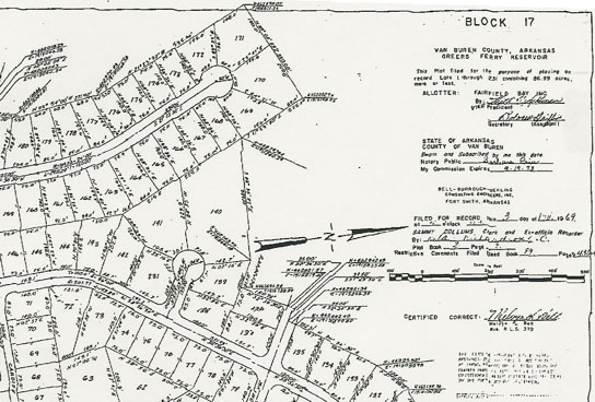
We have expert team of GIS/CAD and Project Management professionals with latest hardware and software knowledge, CartoSolution has completed many Golf Mapping projects for clients across all over the world. Our successfully executed projects range in scope from maps created through cleaning and updating existing datasets, to building custom Golf database from newly acquired data.
Our Mapping Services:
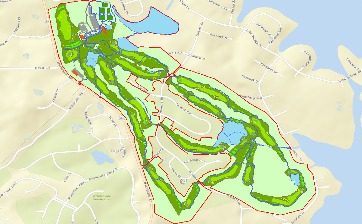
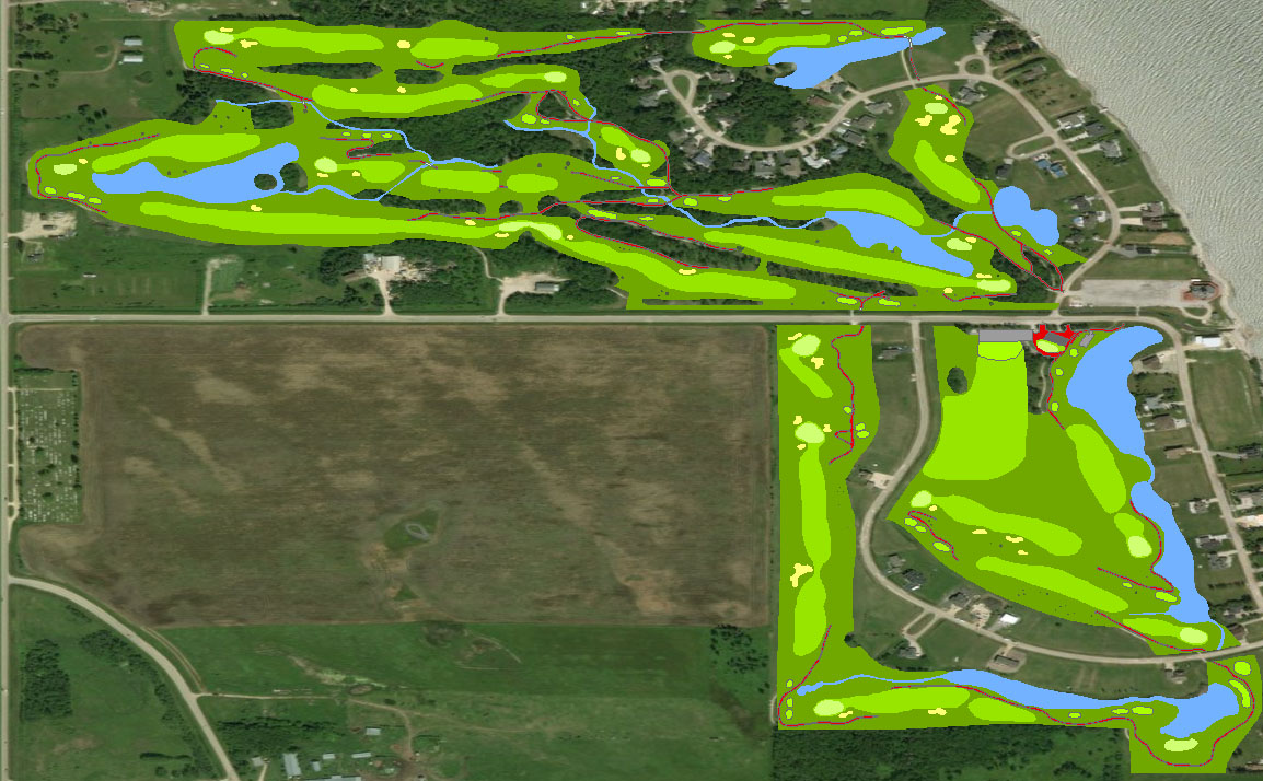
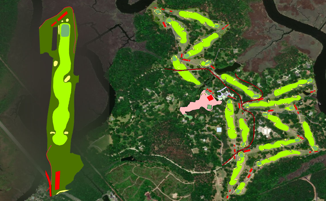
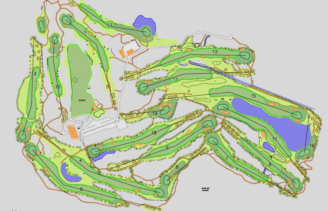
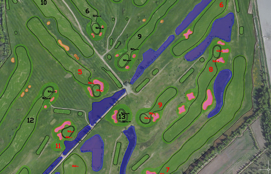
- Analysing the course, locating club house and numbering each holes.
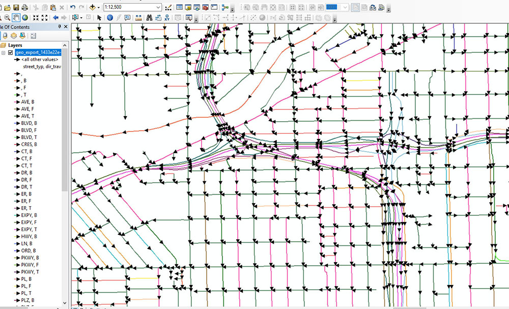
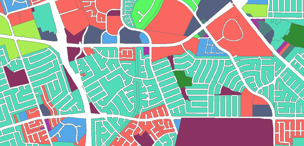
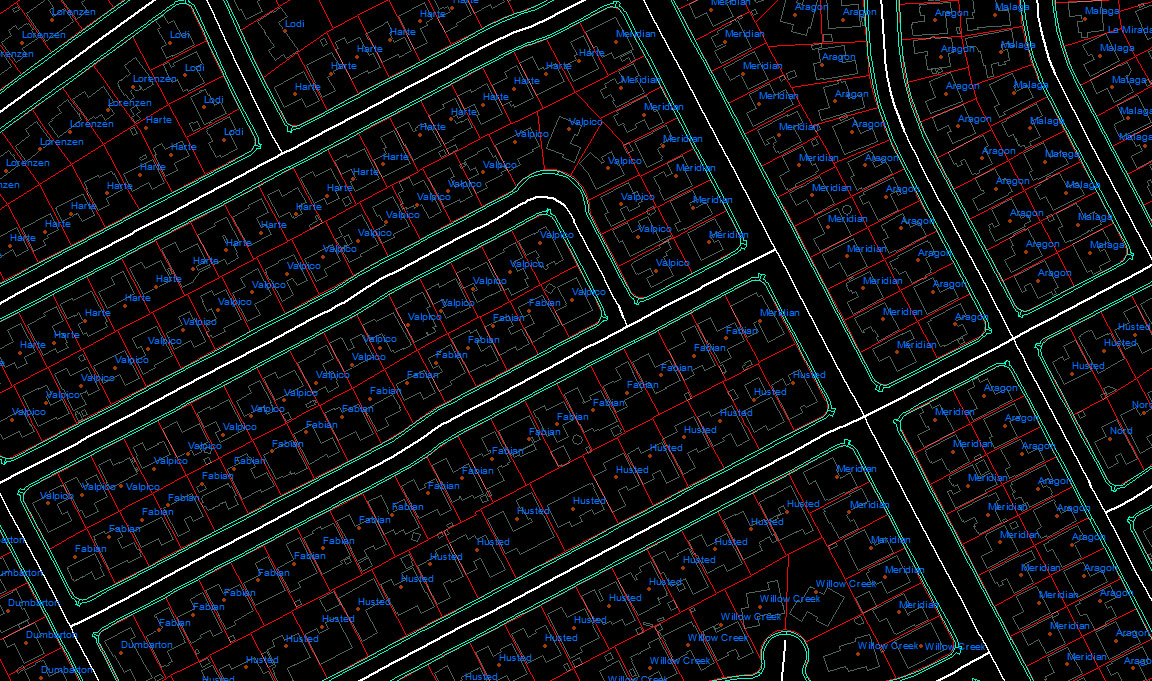
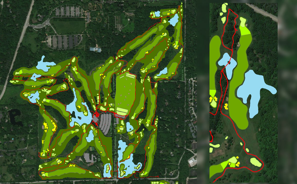
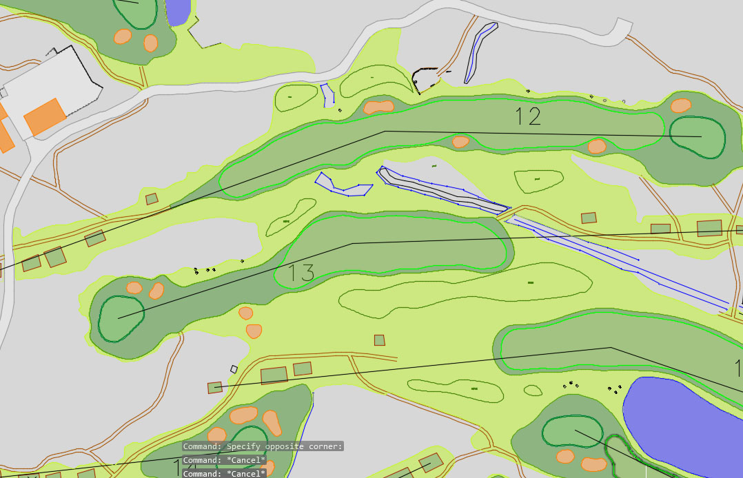
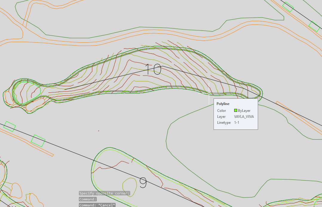
- Digitizing the golf couse features
- Capturing data with maxmimum resolution
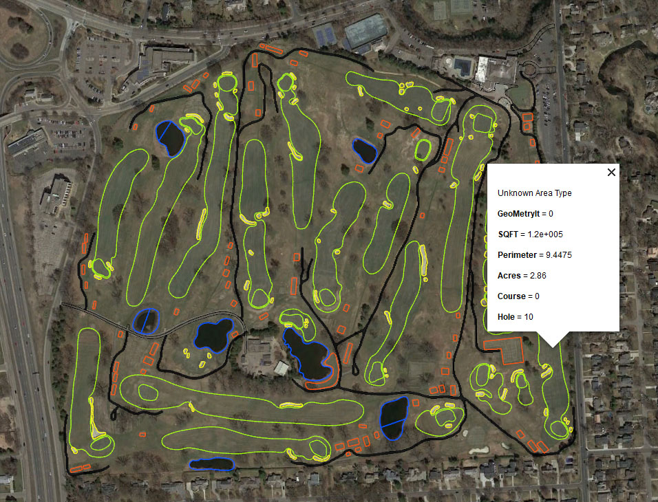
- Atribution and Calculation
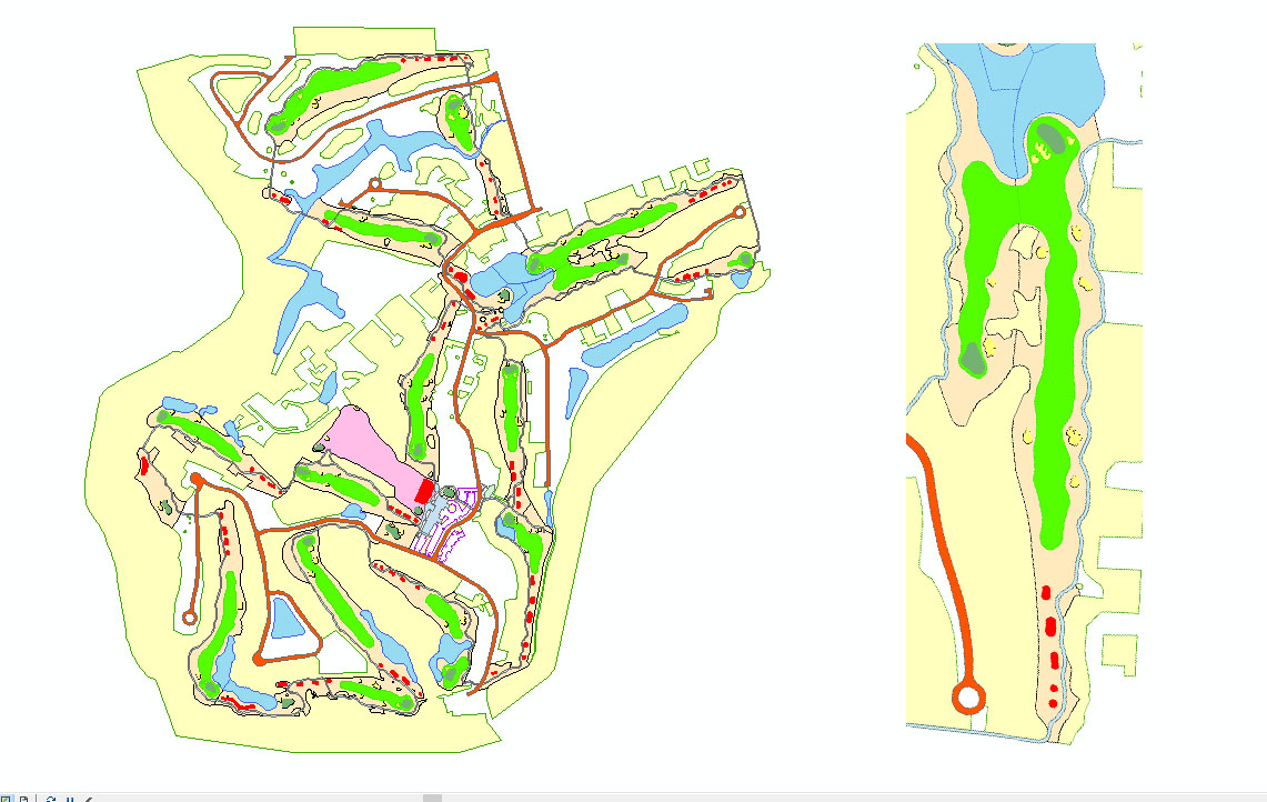
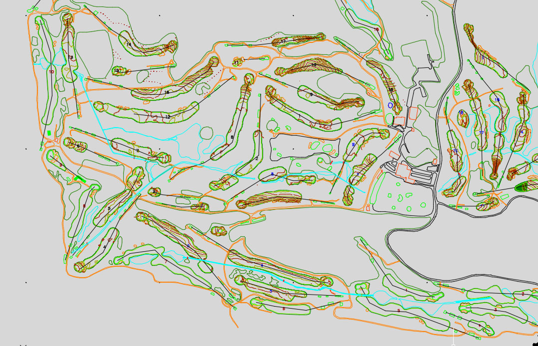
- Contour Genration
- Contour processing for golf (design overlay)
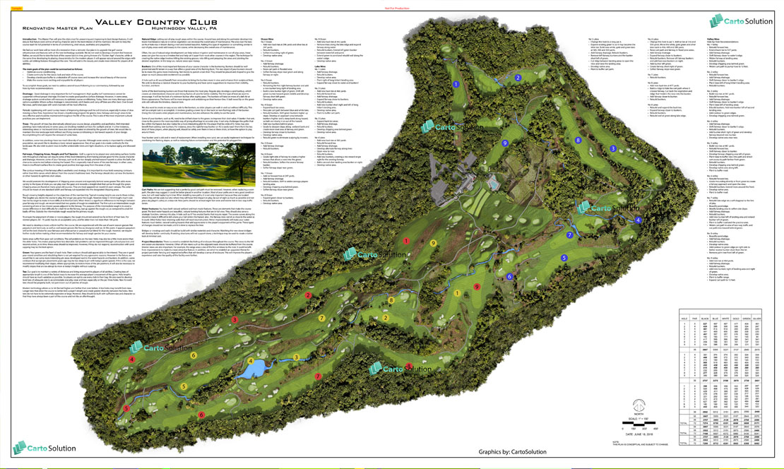
For Golf Architects
- Support for Design & Architecture (GIS, BIM, MEP, QS)
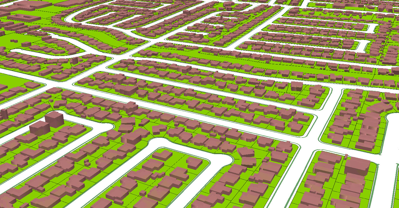
- Master-planning & Conceptualisation (CAD, 3D Animation)
- Golf Site Analysis & Feasibility Study (GIS, Hydrology, Terrain)
- Remodelling & Redesign Services support (On all stages)
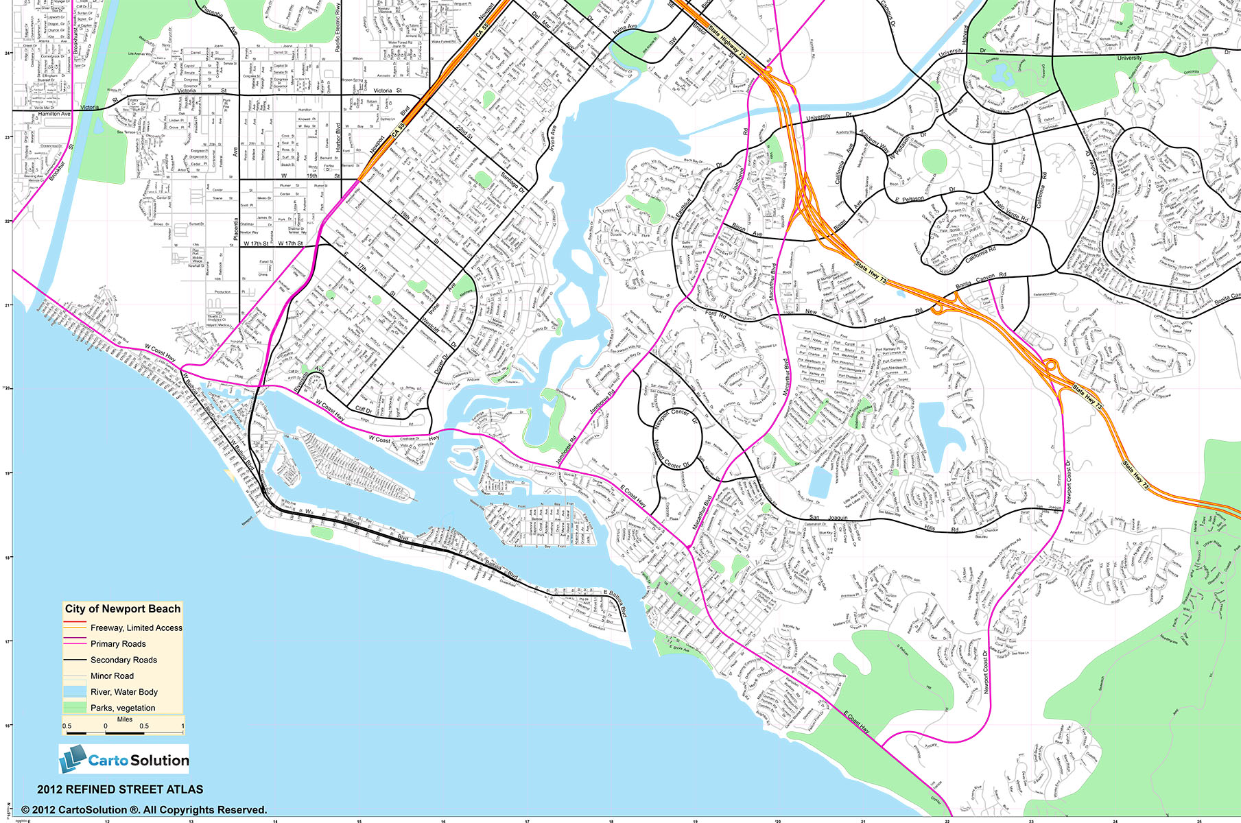
- Preparing Golf Course detailed drawings (CAD and GIS)
- Geo-PDF
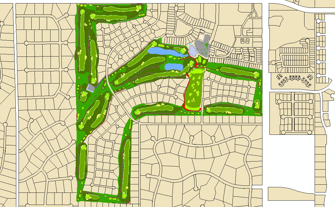
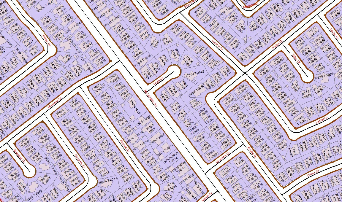
Mapping for Course Maintenance & Management System
The Land Information System (LIS) for Golf course require unique approach to map the property. Each feature must have unique identification and area calculation and so on. The data captured from various input must comply with existing property infrastructure. If required we also provide terrain information directly to golf feature to come up with much more accurate calculation.More...
digitization and QC process